
If you’re looking for an app that maps your ride like a pro, Ride With GPS is your answer! It offers top-notch features like detailed route planning, turn-by-turn voice navigation, and offline maps. You can even track your performance and share your location in real-time with friends. The community engagement helps you discover new routes and connect with fellow cyclists. Keep exploring to find out what makes this app a must-have for your cycling adventures!
Key Takeaways
- Offers robust route planning with customizable maps and various types for tailored cycling experiences.
- Provides turn-by-turn voice navigation for real-time updates and accurate directions during your ride.
- Features offline maps to ensure reliable navigation in areas without cellular service.
- Includes detailed ride statistics to track performance, set goals, and monitor improvements over time.
- Supports community sharing and collaboration, enhancing ride planning with insights from fellow cyclists.
Key Features of Ride With GPS
When it comes to planning your next cycling adventure, Ride With GPS offers an impressive array of key features that enhance your experience.
You can easily plan new routes and edit existing ones using various map types, ensuring you find the perfect path. With turn-by-turn voice navigation, you’ll never miss a turn again.
Easily plan and edit routes with various map types, ensuring you never miss a turn with turn-by-turn voice navigation.
If you venture into areas without cellular service, offline maps keep you on track. You can share your real-time location with friends and family through Live Logging, allowing them to follow your journey.
Plus, syncing with devices like Garmin and Wahoo makes tracking your progress seamless. The extensive route library and customizable filters ensure you discover the best routes tailored to your preferences.
Benefits for Cyclists

Cyclists enjoy a range of benefits from using ride mapping apps, as these tools enhance navigation, safety, and community engagement.
With turn-by-turn navigation and voice prompts, you’ll never miss a turn. Offline maps ensure you can navigate even in areas with poor connectivity. Customizable maps and advanced turn notifications help you plan routes effectively.
Safety is prioritized with crowdsourced data, safety ratings, and heat maps that highlight safe cycling areas.
Engaging with the community is easy through shared routes and club accounts, fostering a collaborative cycling culture.
Plus, automatic ride logging and data tracking provide insights into your cycling habits, helping you improve your performance while advocating for better infrastructure.
Comparison With Other Navigation Apps
While ride mapping apps like Komoot, Strava, and Bikemap each offer unique features, understanding their differences can help you choose the best tool for your cycling needs.
Komoot excels in detailed route planning, integrating seamlessly with Garmin and Wahoo devices, while providing offline maps and a vast library of user-generated content.
Strava, on the other hand, emphasizes social interaction and fitness tracking, with features like segment leaderboards and real-time analysis, though some route planning features require a subscription.
Bikemap boasts an extensive route library and advanced filtering options, alongside its own premium features for offline navigation.
Each app has its strengths, so consider what matters most to you when deciding. Additionally, using apps that can help you master the art of bug out bags ensures you’re well-prepared for unexpected situations during your rides.
User Experience and Reviews

User experience plays a crucial role in your choice of ride mapping apps, as it directly impacts how efficiently you can navigate and plan your routes.
Google Maps stands out with its clutter-free layout, scoring a high UX rating of 9 out of 10. Users appreciate MapMagic for its intuitive design and collaborative planning features, making route editing seamless.
Beeline, while offering a strong route rating of 9, has a slightly lower UX score due to account requirements.
Cycle.Travel’s night-time routing enhances safety, although some users find navigating from non-current locations tricky.
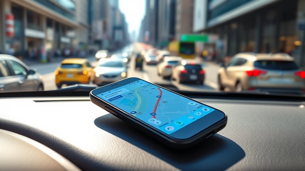
Technical Specifications and Compatibility

When choosing a ride mapping app, understanding its technical specifications and compatibility is essential for ensuring it meets your needs.
Most modern web browsers require minimal hardware, but for Route4Me, at least 6 GB of RAM is necessary, with 8 GB recommended for smoother performance. This app works across various devices including laptops, desktops, and mobile platforms like Android and iOS, without special hardware requirements.
You’ll need the latest version of Google Chrome, Firefox, Safari, or Microsoft Edge. For optimal performance, aim for an internet speed of 3 Mbps or higher.
Plus, it integrates seamlessly with GPS devices and offers offline capabilities, giving you flexibility and reliability on your rides.
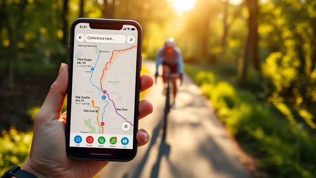
Route Planning Made Easy

Navigating the complexities of route planning doesn’t have to be overwhelming, thanks to intuitive features that streamline the process.
With dynamic route optimization, your app recalculates trips in real-time, factoring in traffic, weather, and road restrictions. You can track vehicles’ exact locations, ensuring transparency and quicker responses to delays. Multi-stop vehicle planning prioritizes stops, minimizing delays effectively.
Communication tools within the app keep you connected with drivers for timely updates. Plus, secure payment integration makes transactions smooth and hassle-free.
With automated planning, the app efficiently manages thousands of orders, adjusting routes based on current conditions. You’ll enjoy time and cost savings, improved customer satisfaction, and a reduced environmental impact—all by simply planning your routes with ease!
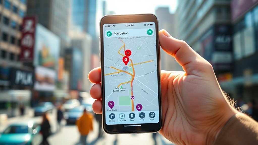
Offline Navigation Capabilities
While you may find yourself in areas with limited connectivity, the offline navigation capabilities of our ride mapping app ensure you’re never left without direction.
Even in areas with poor connectivity, our offline navigation keeps you on the right track.
You can download maps by continent or region, allowing seamless navigation without the internet. Enjoy turn-by-turn voice guidance and visual cues, even in the most remote locations.
Our app provides access to points of interest, like nearby hotels and restaurants, all while keeping your data safe and private. Plus, you can plan routes with multiple stops and rely on automatic rerouting if you stray from your path.
With compatibility across smartphones and smartwatches, you’ll have reliable navigation at your fingertips, regardless of connectivity.
Community Engagement and Interaction

As you explore new routes with our ride mapping app, you’ll discover a vibrant community ready to share insights and experiences.
Users actively contribute by sharing their favorite routes, along with tips and warnings about tricky spots. This community feedback loop enhances route planning and safety, while ratings and reviews help you make informed choices.
With live collaboration tools, you can plan routes in real-time with friends, making group rides seamless and efficient.
Plus, social media integration allows you to share your adventures and connect with fellow cyclists.
User-generated route libraries and forums provide endless inspiration and support, fostering a sense of camaraderie that keeps you motivated on your cycling journey. Additionally, engaging with this community can enhance your cultural intelligence as you learn from diverse perspectives and experiences shared by fellow riders.
Future Developments and Trends

The vibrant community surrounding our ride mapping app not only enhances your cycling experience today but also shapes the future of cycling technology.
The thriving community around our ride mapping app enriches your cycling journey and paves the way for future innovations in cycling technology.
Expect to see advanced map layers integrating real-time weather and condition data, optimizing your route planning. Crowdsourced data will improve infrastructure insights, reflecting rider behavior and preferences.
Automatic ride logging will streamline data collection, while heat maps visualize cycling patterns for better infrastructure planning. Enhanced safety features, personalized route recommendations, and integration with wearable devices will further enrich your experience.
With data export options available, you can analyze your rides in external tools, ensuring your cycling adventures remain efficient, safe, and enjoyable. Additionally, the incorporation of real-time weather data will help cyclists avoid turbulence and other hazards, making rides safer and more enjoyable.
The future of cycling apps looks promising, and you’re at the forefront of it!
Why Choose Ride With GPS for Your Cycling Adventures

Choosing Ride With GPS for your cycling adventures means equipping yourself with a powerful tool designed to enhance every aspect of your ride.
With robust route planning and turn-by-turn voice navigation, you can create customized routes and stay on track with real-time updates. The offline maps feature ensures you won’t get lost without internet connectivity, while Bluetooth connectivity allows you to sync with devices like heart rate monitors.
You’ll appreciate the community aspects, too, from accessing a library of user-created routes to sharing your ride experiences.
Plus, the ride statistics and data analysis tools help you track performance and set goals. Whether you’re a casual rider or a serious cyclist, Ride With GPS has everything you need for a successful cycling experience.
Frequently Asked Questions
How Does Ride With GPS Handle Route Updates During a Ride?
When you’re navigating a ride, you’ll get real-time updates for turns and intersections, ensuring you stay on course.
If you stray from the planned route, you’ll receive off-course alerts to guide you back. Plus, your estimated arrival time adjusts based on your current pace.
With offline navigation, you won’t lose your way even without cellular data, and you can modify your route on the fly using the Mobile Route Planner.
Can I Import Routes From Other Apps Into Ride With GPS?
Imagine you’re a traveler, holding a treasure map filled with routes from different lands.
Yes, you can import those routes into your journey! Just grab a GPX, TCX, FIT, or KML file, open it, and tap the Share feature to send it to your app.
Whether you received it through email or downloaded it from an event website, these routes become part of your adventure, guiding you through every twist and turn.
Is There a Free Trial Available for Ride With GPS?
Yes, there’s a free trial available for Ride with GPS.
You can test the Premium features with a 7-day trial, giving you access to all the tools on both web and mobile platforms.
Just sign up directly from the Ride with GPS website.
However, there isn’t a free trial for the Basic subscription, so if you want to explore the advanced features, the Premium trial is your best option.
How Does Ride With GPS Ensure My Data Privacy?
Like a fortress guarding its treasures, Ride with GPS takes your data privacy seriously.
You control who sees your ride recordings with options for public, friends only, or private settings. You can adjust these preferences for each activity and even create privacy zones to shield sensitive locations.
Your personal information isn’t shared without your consent, and you can delete your account anytime, ensuring your data remains under your watchful eye.
What Types of Sensors Can I Pair With Ride With GPS?
You can pair several types of sensors with Ride with GPS to enhance your cycling experience.
Heart rate monitors like the Polar H7 and Wahoo TICKR provide real-time data. For speed and cadence, consider the Wahoo Blue SC or Polar BT sensors.
If you’re tracking power, devices like Stages or Powertap work well. Additionally, compatible devices like Garmin Edge and Wahoo ELEMNT offer seamless integration for navigation and performance tracking.
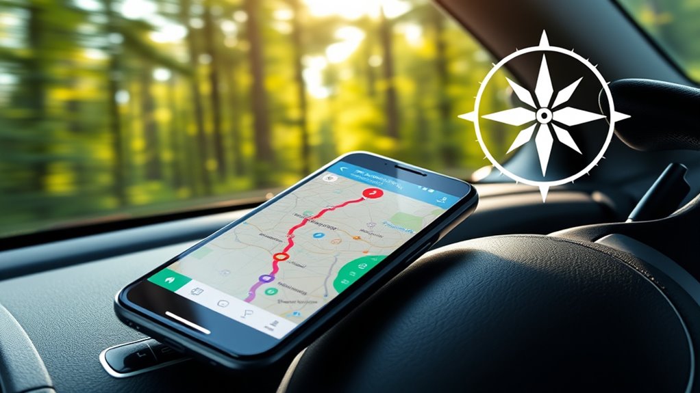
Conclusion
In the world of cycling apps, Ride With GPS is your trusty compass, guiding you through every twist and turn. With its stellar features and engaging community, you’ll discover new routes that feel like hidden treasures waiting to be explored. Whether you’re a weekend warrior or a seasoned pro, this app turns every ride into an adventure. So, gear up, hop on your bike, and let Ride With GPS map out your next journey into the unknown!