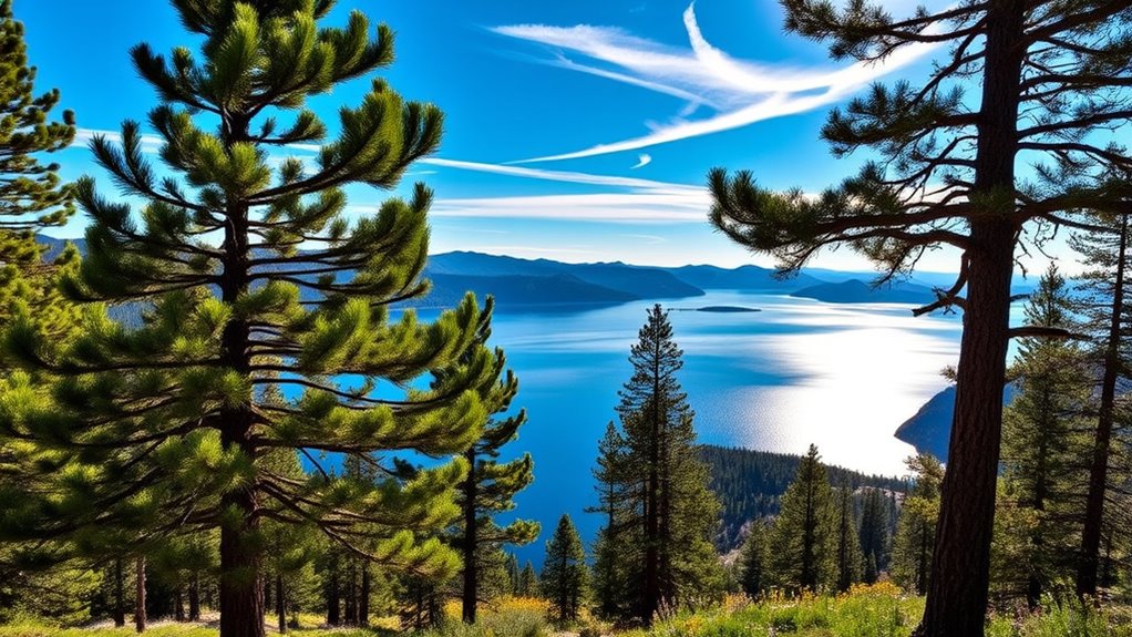
Ride Nevada’s Tahoe Rim Trail and experience unforgettable lake views! Stretching up to 170 miles, the trail showcases stunning panoramas of Lake Tahoe against a backdrop of majestic mountain peaks and vibrant wildflower meadows. Ideal hiking occurs from mid-July to September when the trail is snow-free. You can explore various activities from hiking to mountain biking, all while surrounded by breathtaking natural features. Stick around to discover even more about this incredible outdoor adventure!
Key Takeaways
- The Tahoe Rim Trail offers stunning panoramas of Lake Tahoe, framed by majestic mountain peaks and granite outcroppings.
- Vibrant wildflower meadows bloom from mid-July to mid-October, enhancing the scenic beauty during summer rides.
- Ideal riding conditions occur from mid-July to September when the trail is snow-free and weather is pleasant.
- Key viewpoints along the trail provide unforgettable sunrise and sunset experiences over the lake.
- The trail features diverse landscapes, including serene alpine lakes and unique geological formations for exploration.
Trail Overview and Highlights
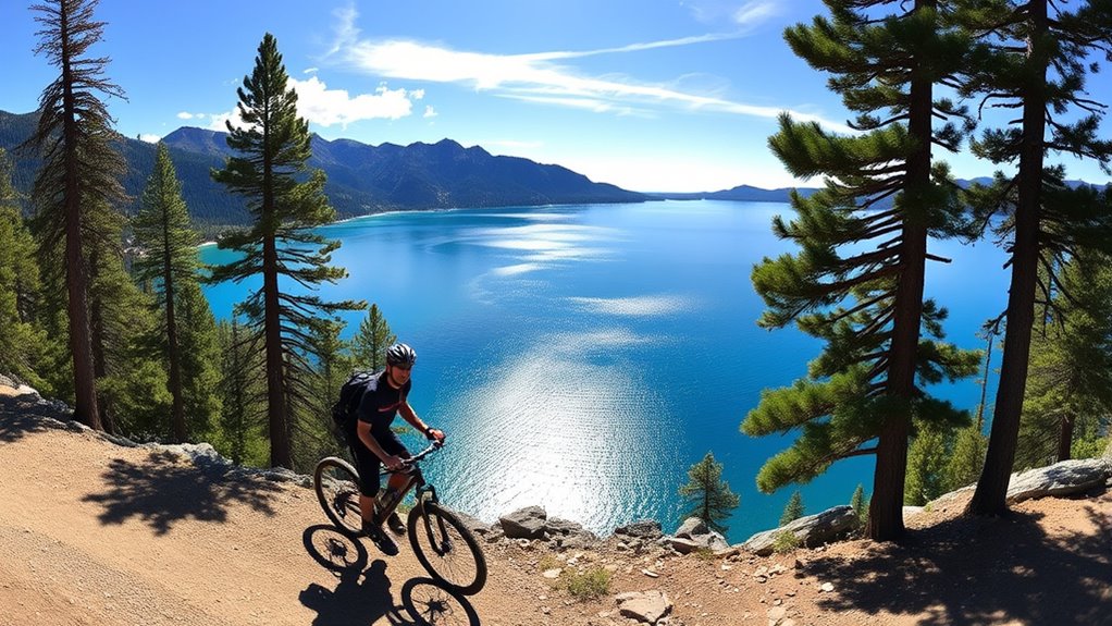
The Tahoe Rim Trail is a breathtaking adventure, stretching approximately 165 to 170 miles around the stunning Lake Tahoe in California and Nevada.
You’ll experience an elevation range from 6,223 feet at the lake’s outlet to 10,338 feet at Relay Peak, revealing awe-inspiring vistas. As you hike or bike, you’ll traverse diverse landscapes, passing through six counties and three national forests.
Keep your eyes peeled for vibrant wildflowers and alpine terrain, and don’t miss the serene lakes and waterfalls like Galena Falls.
Although the trail is well-marked, carrying a map is wise due to limited signage. With no motorized vehicles allowed, you can fully immerse yourself in nature’s tranquility and beauty on this National Recreation Trail.
Best Time to Experience the Trail

Experiencing the Tahoe Rim Trail is best from mid-July to September when the path is usually snow-free and the weather is at its most inviting. During this time, you can enjoy warm, dry conditions with average highs around 79°F and lows near 50°F.
Wildflowers burst into bloom between July and mid-October, reaching peak beauty from mid-July to mid-August. Although summer attracts more hikers, the stunning views and diverse flora make it worth it.
Just be aware that some trailheads close in winter, and snowshoes may be necessary then. If you’re planning a hike during this period, prepare for elevated terrain and varying conditions, ensuring you have the right equipment and knowledge for an unforgettable adventure.
Trail Access and Starting Points
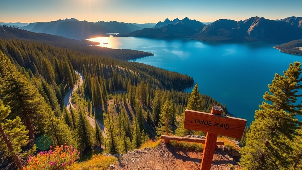
Accessing the Tahoe Rim Trail is straightforward, with several key starting points that cater to different hikers’ needs.
One popular access point is Spooner Summit on U.S. Highway 50, though parking is limited. If you prefer a broader parking area, head to Brockway Summit on State Route 237. Tahoe Meadows, near Mt. Rose Summit, is another great choice.
You can also find trailheads in Tahoe City along State Route 89 and at the Heavenly Stagecoach parking lot on Kingsbury Grade. For those using Tunnel Creek Rd., be mindful of “No Parking” signs along Highway 28.
Each starting point leads you into a unique section of the 165-mile trail, offering diverse terrains and breathtaking views.
Activities Along the Trail

Once you’ve chosen your starting point on the Tahoe Rim Trail, a world of activities awaits you.
You can dive into extensive hiking options, whether you’re looking for a short day hike or a challenging thru-hike. If you’re a mountain biker, much of the trail welcomes you, offering scenic rides for all skill levels.
Equestrian enthusiasts can enjoy horseback riding, although guided rides aren’t available. In winter, try snowshoeing to explore the serene landscape.
For a more immersive experience, consider backpacking segments of the trail over several days. Additionally, educational programs like wildlife survival courses and first aid training enhance your adventure, ensuring you’re well-prepared for the great outdoors.
Get ready for an unforgettable experience!
Scenic Views and Natural Features
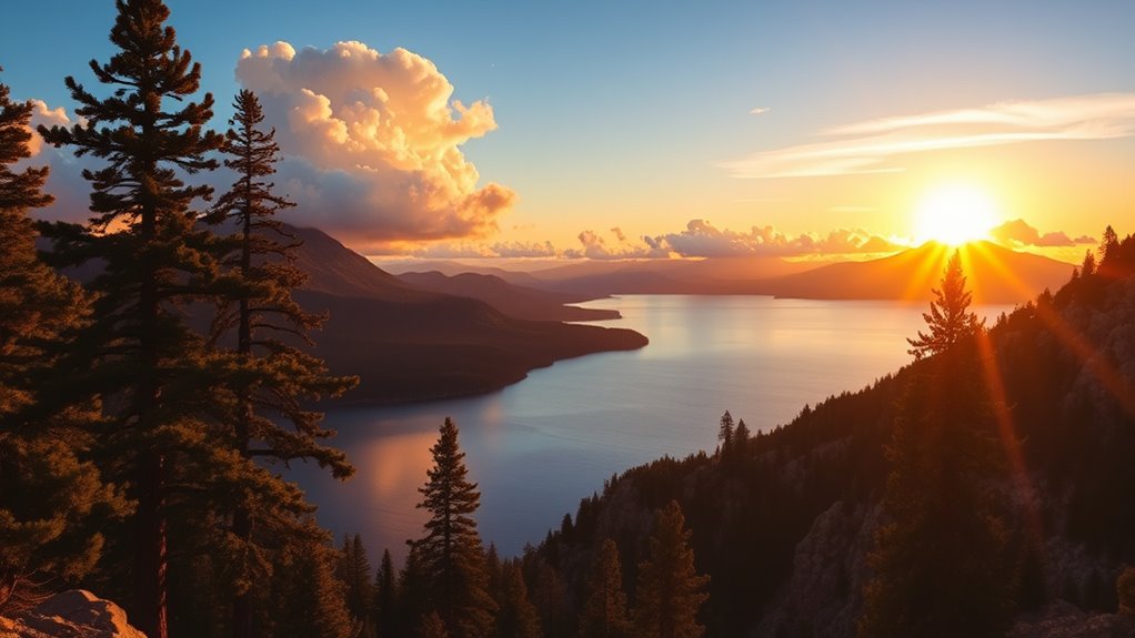
As you traverse the Tahoe Rim Trail, you’ll be treated to some of the most stunning scenic views and natural features that the Sierra Nevada has to offer.
You’ll gaze upon breathtaking panoramas of Lake Tahoe, framed by majestic mountain peaks and granite outcroppings. In summer, vibrant wildflower meadows burst with color, while dense forests of towering pines and aspens provide shade and serenity.
Don’t miss the strategic viewpoints for unforgettable sunrises and sunsets over the lake. Along the trail, you’ll encounter smaller alpine lakes and unique geological formations, enhancing the diverse landscape.
Whether it’s the tranquil beauty of Washoe Lake or the rugged terrain of the ridge lines, every step offers a visual feast that you’ll never forget.
Physical Challenges and Preparation
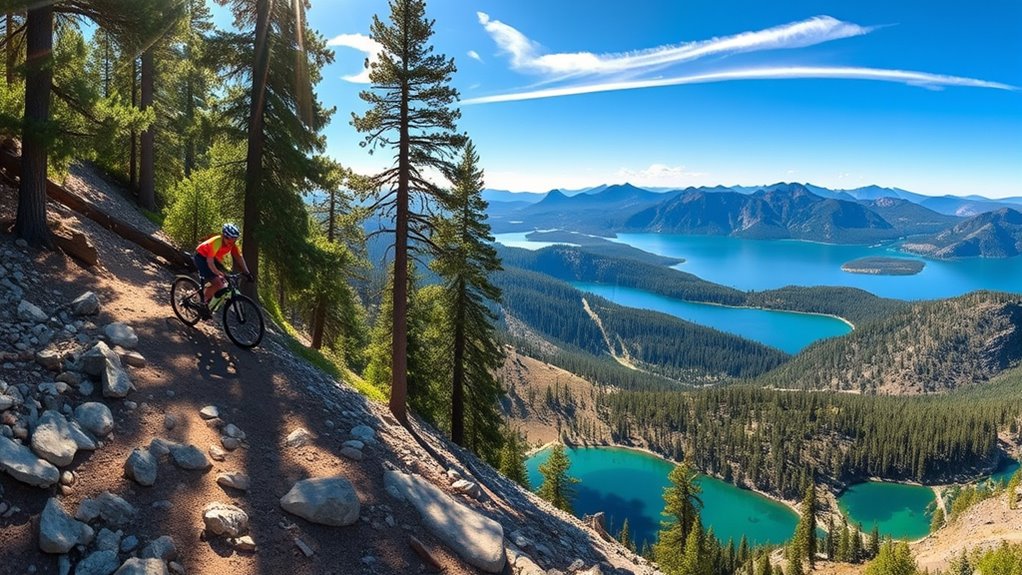
While the Tahoe Rim Trail offers breathtaking views, it also presents significant physical challenges that require careful preparation.
You’ll face elevations between 7,000 and 10,000 feet, which can lead to altitude sickness if you don’t acclimate. The rocky paths and steep climbs demand endurance, with the entire 170-mile trail typically taking 7 to 12 days to complete.
Expect muscle fatigue, blisters, and unpredictable weather, including extreme heat and possible hail. Prior to your adventure, focus on physical conditioning and pack lightweight gear, including a reliable water filtration system.
Carry enough water, as stretches without sources can be long. Lastly, don’t underestimate the mental resilience needed to tackle the daily challenges and stay motivated throughout your journey.
Navigation Tips for Hikers
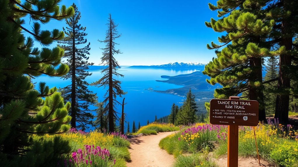
How can you navigate the Tahoe Rim Trail effectively? Start by using interactive maps from the Tahoe Rim Trail Association or the popular Guthook app, which provides maps, elevation profiles, and waypoints.
If you prefer physical maps, grab a Nat Geo Map. While the trail is well-marked, only major junctions have signs, so don’t solely rely on them.
Download maps in advance, as cell service can be unreliable. Be prepared for snow and ice, especially at higher elevations, and always check trail conditions before heading out.
Also, keep an eye on wildlife and plan for limited water sources, particularly on the east shore. With these tools and tips, you’ll navigate the trail with confidence!
Resupply Options and Logistics
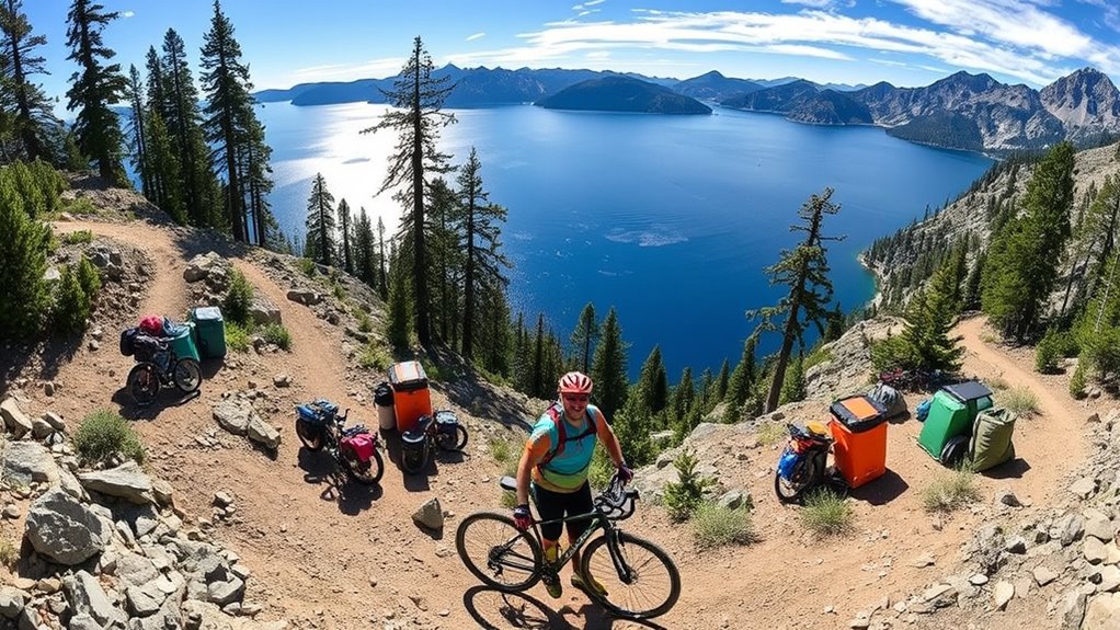
When planning your Tahoe Rim Trail adventure, knowing your resupply options and logistics is crucial for a successful journey.
Tahoe City is your best bet, with direct trail access and a nearby grocery store. South Lake Tahoe also offers full services, including supermarkets, accessible via hitchhiking or Uber.
Echo Lake has a small store with limited hours and higher prices. For Incline Village and Kings Beach, you’ll need to hitchhike or arrange a ride.
Truckee has options but requires transportation off the main trail. Consider using post offices for resupply packages and ensure you cache water in dry sections. Additionally, it’s important to remember that legal separation can be a consideration for those navigating personal relationships during their outdoor adventures.
Lastly, secure your Desolation Wilderness permit ahead of time to enjoy camping without hassle.
Frequently Asked Questions
Are There Any Specific Wildlife Safety Guidelines to Follow on the Trail?
When you’re on the trail, it’s crucial to follow wildlife safety guidelines.
Use bear-resistant canisters for food storage and avoid approaching or feeding any wildlife. Always observe animals from a distance and keep your pets under control.
Stay on designated trails to minimize disturbances to their habitats. If you encounter aggressive wildlife, report it to local authorities.
What Should I Do in Case of an Emergency While Hiking?
In the wilderness, you’re a ship sailing through unpredictable waters. If an emergency strikes while hiking, stay calm and assess the situation.
Signal for help using a whistle or mirror, and if you can, call emergency services. Administer first aid as needed, and ensure your group stays visible with bright clothing.
Stick together and remember your emergency plan. By being prepared, you keep your ship afloat amidst any storm.
Are There Any Fees Associated With Using the Tahoe Rim Trail?
Yes, there are some fees associated with using the Tahoe Rim Trail.
You’ll need a Desolation Wilderness Permit for hiking through certain areas, which is typically free but may have a small fee for thru-hikers.
Also, if you plan to use camp stoves or campfires, you’ll need a California Campfire Permit.
It’s best to obtain these permits 7-10 days before your hike to ensure a smooth experience on the trail.
Can I Bring My Pet on the Trail?
Yes, you can bring your pet on the Tahoe Rim Trail!
Just remember to keep your dog leashed in high-use areas and under voice control.
Make sure to pack out any waste and respect wildlife by keeping your dog away from them.
It’s essential to ensure your pet is physically fit for the hike and to bring supplies like water and snacks.
Enjoy the trail, but always prioritize safety and etiquette!
Are There Any Campgrounds or Shelters Along the Trail?
There are over 165 miles of the Tahoe Rim Trail, but you won’t find any backcountry huts or shelters.
Instead, you’ll discover several campgrounds, like Marlette Peak and North Canyon, which offer basic amenities.
Remember, you’ll need a bear canister for overnight stays, especially in Desolation Wilderness.
Always camp at least 200 feet away from lakes and streams to protect the fragile ecosystem.
Plan ahead for water and food storage!
Conclusion
So, if you’re ready to tackle the Tahoe Rim Trail and pretend you’re a rugged mountain goat, grab your gear and hit the path! Just remember, while those breathtaking lake views are Instagram-worthy, they won’t carry your snacks—or your aching legs. Whether you’re a seasoned hiker or just in it for the selfies, you’re bound to create unforgettable memories. So lace up those boots, and may your adventure be filled with both awe and a touch of absurdity!
